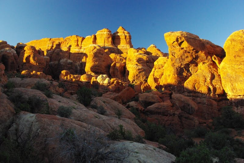
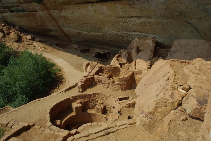
Hey, remember us? It's only been a little less than two months but a lot has happened and we got to see a lot of family and friends during this time back home. It was time to spend more time with family and friends and leave the computer at home. Dick also left the camera at home most of the time. He would rather take photos of landscape than people.
We left Arches National Park on June 27 and headed for Canyon View RV park in Spanish Fork Utah. A paved parking lot with water and electric, but OK for one night. Our motor home overheated on the mountain pass. We then headed to our favorite camping place near Wells Nevada where we spent 3 nights; see the picture of our rig above.
On the way out of town we stopped at a truck wash and had them hydro blast the radiator and clean out all the red dust from Arches in hopes that it would solve the overheating problem. As it turned out, it made things better but we found out later that it did not solve the problem.
Off we go again to Bully Creek Park on Bully Creek Reservoir in Vale Oregon for one night but ended up staying two. Tried to go to the local United Methodist Church on Sunday morning but after checking the time for the service on the board in front of the Church on Saturday they changed the time later that evening so we missed service.
On the 4th of July we ended up at 1000 trails Sunriver Oregon and played tourist. We visited the Lava Lands and drove up Lava Butte to view the huge lava flows. And then it was off to "The Big Obsidian Flow" and what a pile of glass.
This photo is not a black and white shot but sure looks like it. Black obsidian and white snow.
Dick had to add these photos for our good friend Ray Howard and a very talented flint napper that we met in Delta Utah, Danie Kersey, who makes the most beautiful knives, arrowheads and spear points from obsidian. If you are interested in purchasing any of his work let me know and I will forward your address to him.

Another shot of the acres and this time with a little green in the background. There is a trail that runs about 1/2 mile through the flow. If you go there take it slow and easy, you sure don't want to trip and take a tumble on this path.

A close look at some of the obsidian. Sure would like to load the motor home up with a pound or two of this stuff.

Really tough to get a picture with pure white and black but there is a little color in Jackie's shirt.

While in the area we fought off the mosquitoes and took another hike to view a very beautiful waterfall.

Another view from another direction. Glad we took the time to spend some time in the woods after several months in the desert. Wow, what a difference and we are glad to be back in the northwest where there are real trees.

7/6 Another day traveling but this time to get some big changes to our rig. We spent two nights at AM Solar in Springfield Oregon where we had 3 solar panels put on the roof and the battery and solar controllers in the bedroom. We are now totally self contained and don't need any stinking RV parks. (As long as the sun is shining, of course.)
After spending one night at 1000 trails in Chehalis Washington, we finally ended up at our destination in Poulsbo on July 9. We spent lots of time with all three girls and all grand kids for a few weeks.
On one of our free days we took a drive to Sequim for their annual lavender festival and found a field or two of plants close to harvest time.


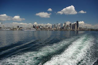
Another day we took a ferry to Seattle where we both were born. What a beautiful day to stroll the waterfront with Deanna, Daisy and Dani.
After a few weeks with family and friends on the west side of the mountains we headed off to Ephrata where our trip started over three years ago. After getting a new windshield in the motor home, we ended up at Dick's brother and S I L for a great week plus visiting with them and all our super
friends. Thanks all for sharing your time with us, and thanks Guy and Joan for your wonderful hospitality.
We left Guy and Joan's to spend two nights with them camping on Lake Roosevelt where we had our first chance to use the new solar and it worked great. While there we got the chance to take our boat out for couple of hours on the water. Near our campsite was a large old dead tree with a very large Osprey nest with two little ones and Dick was able to get some good pictures but for some stupid reason they never downloaded. If you really want to see them let us know and we will send copies to you.
We ended our trip to Washington by spending three great days with some very special people near Spokane Washington before starting our trip to the east coast, Dave and Kelly Anderson. Thanks for a wonderful three days and fabulous food. We also got to see Jim & Carolyn Retzer, MOC friends who Kelly invited for dinner. Such fun catching up on what everyone's been up to.
While in Quartzsite

The light you see radiates through the rock in this 45 second exposure.

Thanks to all our friend and family for sharing yourselves with us during our trip back home. Now it's time to head out on our next journey. We departed the Anderson's for a trip to the east coast to see the fall colors. We will try and update this blog a little more regularly as we travel across our great country.
To be continued...
We left Arches National Park on June 27 and headed for Canyon View RV park in Spanish Fork Utah. A paved parking lot with water and electric, but OK for one night. Our motor home overheated on the mountain pass. We then headed to our favorite camping place near Wells Nevada where we spent 3 nights; see the picture of our rig above.
On the way out of town we stopped at a truck wash and had them hydro blast the radiator and clean out all the red dust from Arches in hopes that it would solve the overheating problem. As it turned out, it made things better but we found out later that it did not solve the problem.
Off we go again to Bully Creek Park on Bully Creek Reservoir in Vale Oregon for one night but ended up staying two. Tried to go to the local United Methodist Church on Sunday morning but after checking the time for the service on the board in front of the Church on Saturday they changed the time later that evening so we missed service.
On the 4th of July we ended up at 1000 trails Sunriver Oregon and played tourist. We visited the Lava Lands and drove up Lava Butte to view the huge lava flows. And then it was off to "The Big Obsidian Flow" and what a pile of glass.
This photo is not a black and white shot but sure looks like it. Black obsidian and white snow.
Dick had to add these photos for our good friend Ray Howard and a very talented flint napper that we met in Delta Utah, Danie Kersey, who makes the most beautiful knives, arrowheads and spear points from obsidian. If you are interested in purchasing any of his work let me know and I will forward your address to him.

Another shot of the acres and this time with a little green in the background. There is a trail that runs about 1/2 mile through the flow. If you go there take it slow and easy, you sure don't want to trip and take a tumble on this path.

A close look at some of the obsidian. Sure would like to load the motor home up with a pound or two of this stuff.

Really tough to get a picture with pure white and black but there is a little color in Jackie's shirt.

While in the area we fought off the mosquitoes and took another hike to view a very beautiful waterfall.

Another view from another direction. Glad we took the time to spend some time in the woods after several months in the desert. Wow, what a difference and we are glad to be back in the northwest where there are real trees.

7/6 Another day traveling but this time to get some big changes to our rig. We spent two nights at AM Solar in Springfield Oregon where we had 3 solar panels put on the roof and the battery and solar controllers in the bedroom. We are now totally self contained and don't need any stinking RV parks. (As long as the sun is shining, of course.)
After spending one night at 1000 trails in Chehalis Washington, we finally ended up at our destination in Poulsbo on July 9. We spent lots of time with all three girls and all grand kids for a few weeks.
On one of our free days we took a drive to Sequim for their annual lavender festival and found a field or two of plants close to harvest time.


Another day we took a ferry to Seattle where we both were born. What a beautiful day to stroll the waterfront with Deanna, Daisy and Dani.

After a few weeks with family and friends on the west side of the mountains we headed off to Ephrata where our trip started over three years ago. After getting a new windshield in the motor home, we ended up at Dick's brother and S I L for a great week plus visiting with them and all our super
friends. Thanks all for sharing your time with us, and thanks Guy and Joan for your wonderful hospitality.
We left Guy and Joan's to spend two nights with them camping on Lake Roosevelt where we had our first chance to use the new solar and it worked great. While there we got the chance to take our boat out for couple of hours on the water. Near our campsite was a large old dead tree with a very large Osprey nest with two little ones and Dick was able to get some good pictures but for some stupid reason they never downloaded. If you really want to see them let us know and we will send copies to you.
We ended our trip to Washington by spending three great days with some very special people near Spokane Washington before starting our trip to the east coast, Dave and Kelly Anderson. Thanks for a wonderful three days and fabulous food. We also got to see Jim & Carolyn Retzer, MOC friends who Kelly invited for dinner. Such fun catching up on what everyone's been up to.
While in Quartzsite

The light you see radiates through the rock in this 45 second exposure.

Thanks to all our friend and family for sharing yourselves with us during our trip back home. Now it's time to head out on our next journey. We departed the Anderson's for a trip to the east coast to see the fall colors. We will try and update this blog a little more regularly as we travel across our great country.
To be continued...